🏴 Destination: Söll Steinerne Stiege bus station, Söll, Austria
A hike through the Kaiser Mountains #
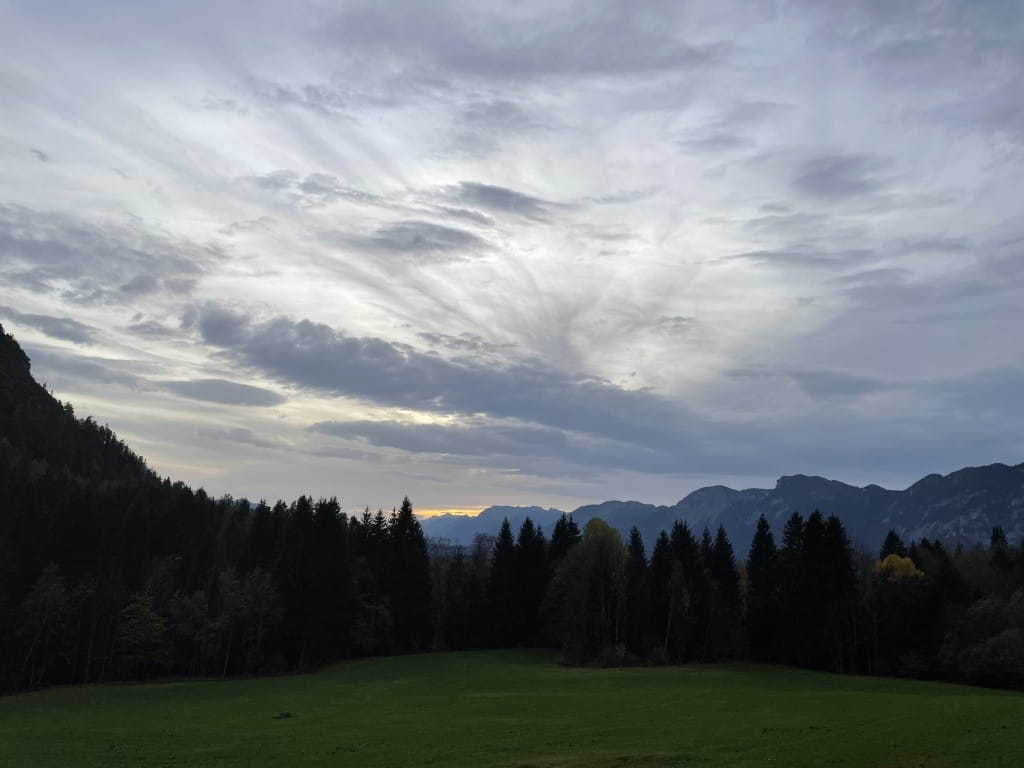
This hike was another one that I did solo after a night out and my second solo hike starting from Kufstein. It’s quite a straightforward hike that takes you around the Wilder Kaiser directly from Kufstein station. This one’s a rather long trek, so make sure you bring enough food and water. There are no exposed sections and no via ferrata. The incline is quite mild, but there are steep parts on the way down to Söll. Make sure to start early to ensure you finish before sunset. The bus back to Kufstein departs relatively infrequently.
What’s special about this hike? #
- Easy but long hike, good for beginners
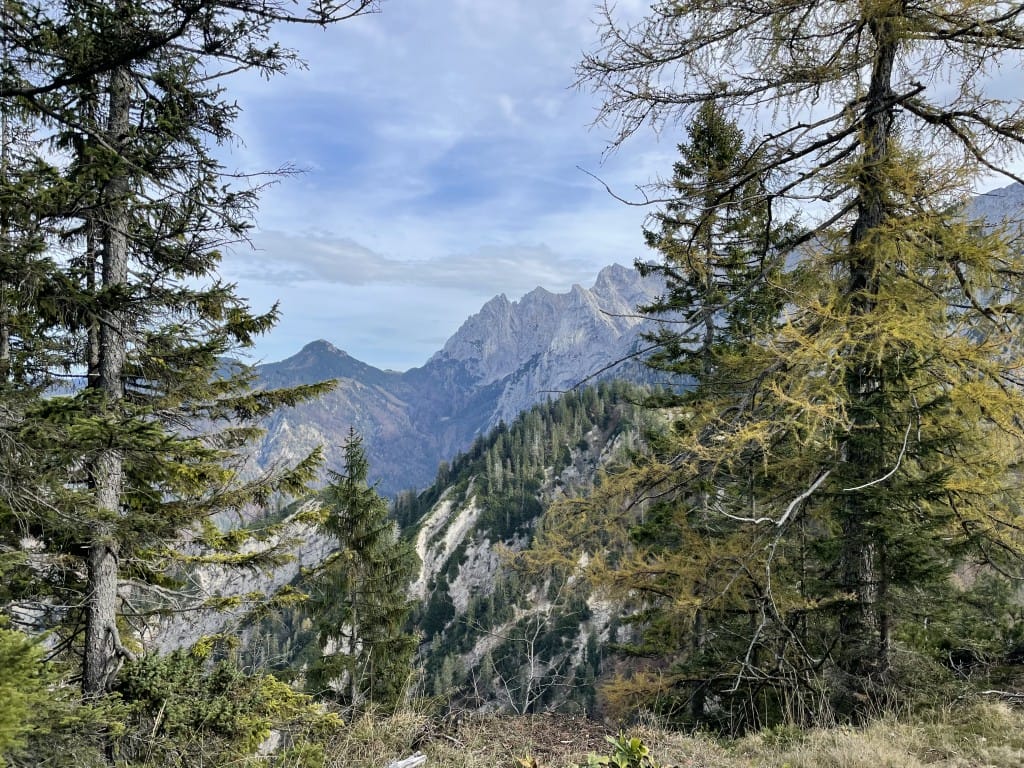
- Stunning scenery of the Kaiser Mountains
- Most beautiful in autumn
How to get there #
From Munich Central Railway Station, you can take a regional or intercity train to Kufstein. Be aware that you will be crossing the border into Austria, so ensure you have your documents with you.
A journey from Munich Central Railway Station to Kufstein takes around 1 hour and 15 minutes.
Once you finish your hike you’ll need to take the bus from Söll Steinerne Stiege bus station to Kufstein.
The hike #
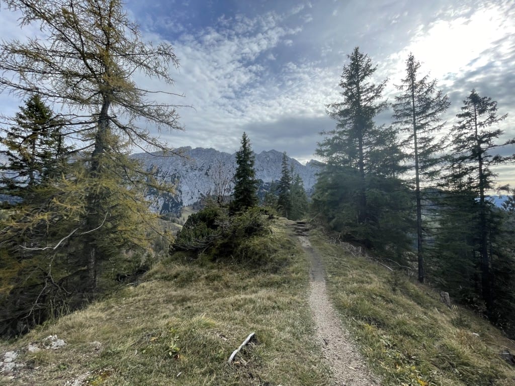
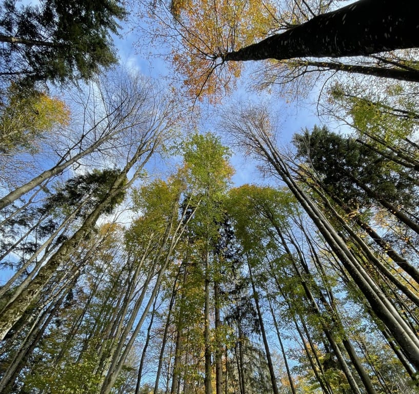
This hike starts close to Kufstein, so there’s no need to take another bus. Just walk through the quiet Austrian town until you find yourself in front of the forest. Walk up the stairs to ascend further into the Kaiser Mountains. The first stretch is definitely one of the most beautiful sections of the hike, as you will walk through a dense forest with towering trees. It’s particularly breathtaking in autumn when the light is tinted by the yellow leaves.

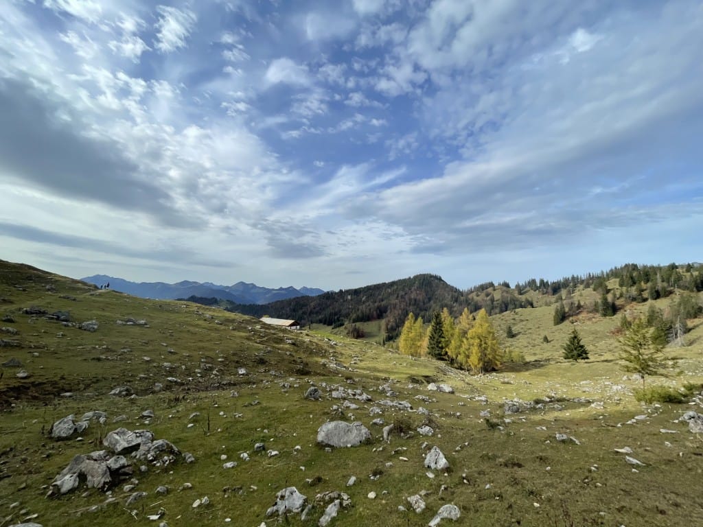
After around 4 km, you will hike past a support structure of a ski lift. Continue walking uphill until you reach an intersection near the Brentenjochalm and Weinbergerhaus, two huts where you might want to stop for food. Continue for another 2 km to reach the first major viewpoint with a view of the valley and mountains. From here, you will walk along the edge of what looks like a valley, in a half-circle, past the Kaindlhütte—another hut—until you can turn right for a quick break on a round bench.

From there, you will start your somewhat steep descent into Söll, where you can take a bus back to town.

Click here for Komoot!
